Skip to main content
Search
Search This Blog
Images Photo Gallery
Posts
Showing posts from August, 2012
Show all
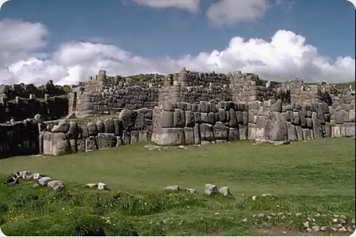
August 25, 2012
The fortress of Sacsayhuaman Inca testimony of the power and place of worship of the sun god.
August 22, 2012
Mortality of dolphins in the seas of Peru disoriented by the sonar ship.
August 20, 2012
The amazing caves Acsibi in the heart of the Valleys Calchaquíes.
August 19, 2012
Svalbard is an archipelago in the Arctic Ocean, breeding ground goose white-faced.
Newer Posts
Older Posts
Home